Today we once again follow highway E39. Supposedly it is 1100 km long and runs through six counties and fifty municipalities. Total travel time is around 21 hours, including seven different ferry connections. But we travel just a fragment of it's length, because we take several side roads. During our trip we see some beautiful landscapes, far away from the cities. And we explore the local dead ends of streetview.
E39 Osestad - Google Streetview
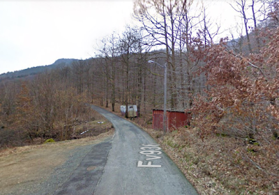
In this webcam view we see a hilly landscape and we see the main road going off to the left. But on the right we see an unpaved rural road going up the slope. We cannot follow this road on Streetview and we don't know where it's going. This gives some mystery to this picture, especially because this side road is obscured by trees and we can't see it clearly.


E39 Vatland - Google streetview
We see a tunnel where nothing ever happens. In this picture the seasons change but the view stays practically the same. In winter there are some rays of sunlight that illuminate the snow and the box, but otherwise nothing much happens.


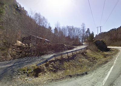
We are far away from everywhere. There are some houses in the woods and they are far from the road. They hide in the woods and watch us with weary eyes. They are inaccessible from Google Streetview. They sleep in winter.


Ik heb gisteren een mooie wandeling rond Cornil gemaakt: https://www.openstreetmap.org/relation/13818820#map=15/45.2132/1.7047. Dat wil zeggen, ik heb de wandeling op Openstreetmap gezet, en obv de Franse luchtfoto's het tracé bepaald. Dat is vooral spannend op kleine paadjes in bebost gebied, omdat je dan niet goed ziet waar het pad loopt. Dat geeft een vergelijkbaar gevoel.
ReplyDelete