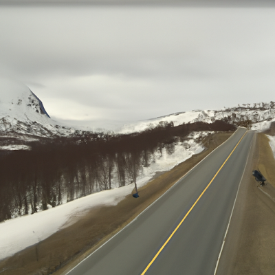
E6 Gratangsfjellet - Streetview
Based on the text overlay in the image, which mentions "E6 Gratangsfjellet retning Bjerkvik (347moh)" and the scenic winter landscape, it suggests that this location might be in Norway. The E6 is a major road in Norway, and "Gratangsfjellet" and "Bjerkvik" are locations in the country. The term "moh" typically means "meters above sea level" in Norwegian. Therefore, it's likely that this picture is from Norway, specifically from the Troms og Finnmark county or its vicinity, given the locations mentioned. (OpenAI)
The picture shows a scenic winter landscape showing a highway alongside a calm river, with snow-covered banks and mountains in the background. There's a single vehicle traveling on the road.
The building on the left appears to be a small structure, possibly a shed, cabin, or storage facility. Given its location near the road and river, it could also be a utility or maintenance building. However, without more specific context, it's hard to determine its exact purpose. (OpenAI)
There are some beautiful spots around here: the neighbourhood, the neighbourhood.
I asked OpenAI to generate similar landscapes. There OpenAI generated some predictions about the neighborhood. I searched for these scenes in this neighborhood. It works about 70%.
The AI predicted a small building by the side of the road. There is one in the neighbourhood.
The AI predicted a side road. It is there.


